We are pleased to share with you our invitation to deliver the results of our project: "Livingston Biodiversity Documentation" where you can learn a little more about the project and the achievements obtained by our team.
This presentation will be in Spanish starting 6 PM on Thursday, 17 March.
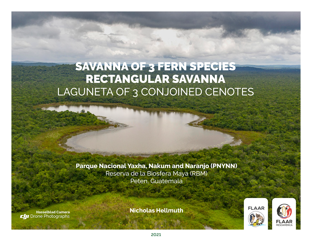
Parque Nacional Yaxha, Nakum and Naranjo (PNYNN) is best known for the nicely protected monumental Classic Maya architecture of Yaxha, Nakum, Naranjo and Topoxte Island. This national park is also known for the sun setting over Lake Yaxha.
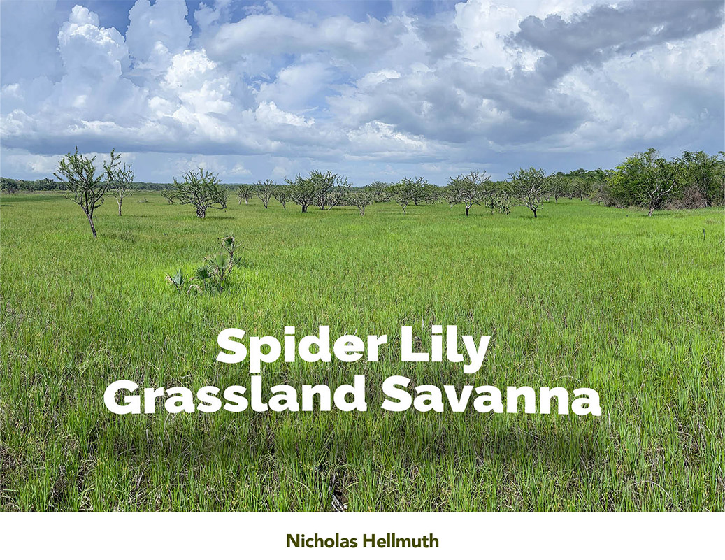
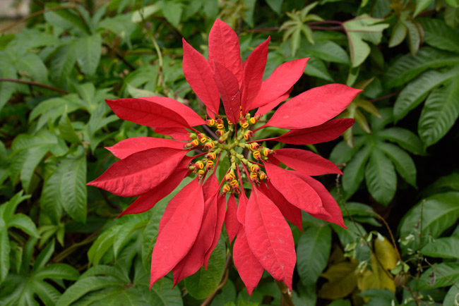
Our focus in the August 2018-July 2019 project in PNYNN was flora, fauna, and interesting ecosystems that had not often been published: pital areas (hundreds of Aechmea magdalenae terrestrial bromeliads surrounding a natural aguada); cibal areas (sawgrass savannas); and traditional open grassland savannas with their iconic tasiste palms, nance fruit trees, and jicara calabash trees.
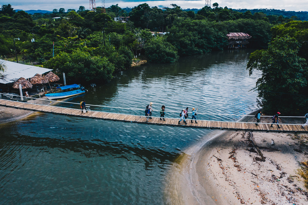
Based on the results of that project we were asked to return to undertake a 5-year project of cooperation and coordination with CONAP for PNYNN and adjacent areas plus the rest of the Reserva de la Biosfera Maya (RBM). We are now in our 9th month of this new research project. Our focus is on wetlands since we have learned a lot about swamps, marshes, riverside and lakeside habitats from our separate 15-month flora-fauna-ecosystems research project in the Municipio de Livingston (east part of Izabal).
I am especially interested in studying savannas since they are well studied in adjacent Belize. But other than the pine savannas of Poptun karst area of southern Peten and the karst savannas of La Libertad area of Peten (all south, outside the RBM), the savannas of PNYNN within the RBM have not previously been published. The Savanna East of Nakum was known but not published with photographs; the savanna to the west of Naranjo has been studied but its flora and fauna were not yet published. Our goal in 2021 is to accomplish improved digital photographic documentation starting with the Savanna of 3 Fern Species. This is so remote that it has not previously been published (that we know of).
One reason these savannas are not previously studied is because there is no base camp adjacent to them. To reach them is comparable to an Olympic long distance trek. We overcome the difficulties of climbing steep hills and sliding down the other side with inspiration, dedication, combined with initiative. This facilitates hiking up to 18 kilometers in a single day (about 10 miles).
FLAAR report on ground level photography
FLAAR report on helpful drone photography
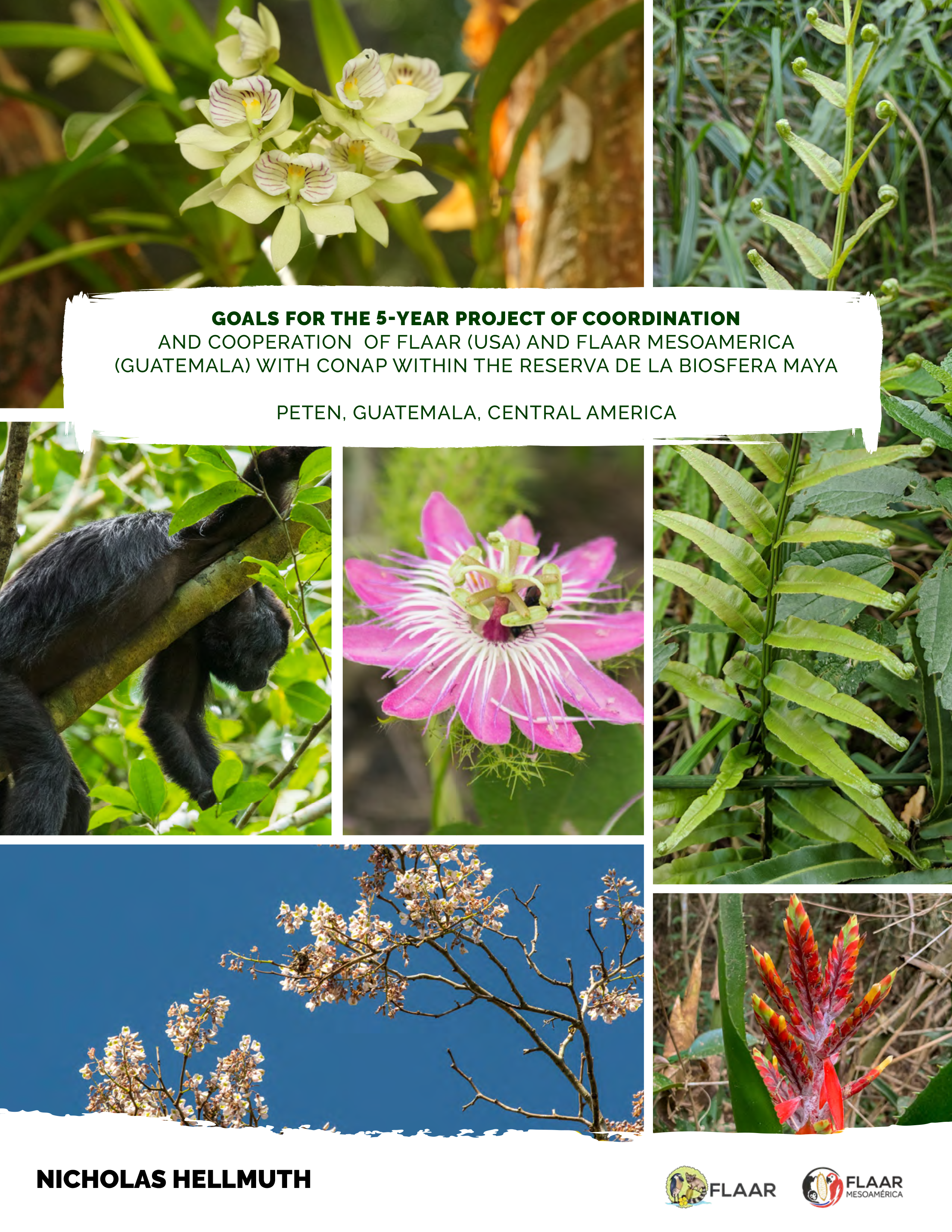
Our five year project in RBM is inspired to dedicate our experience with digital photography, with biodiverse ecosystems, and with documentation of flora and fauna. Our reports are intended to assist scientists plus students plus the interested public to have more information about the remarkable national parks and nature reserves of the RBM area of Peten, Guatemala, Central America.
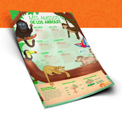
The 200 page report at the left is mostly full page photographs to show the remarkable Neotropical flowers, trees, howler monkeys and bio-diverse ecosystems of Parque Nacional Yaxha, Nakum and Naranjo (which is part of the RBM). This first edition lists the equipment needed for the coming four years (2022-2025).
Here is the emotional video as we find an open grassland savanna in the middle of the high lowland bajo forest area of PNLT of RBM.
The video is bi-lingual, English and Spanish.
FLAAR is non-profit research and publishing institute in USA. Donations by check payable to FLAAR or stock is tax deductible to the extent allowed by law.
FLAAR Mesoamerica is a non-profit research and publishing institute in Guatemala. Donations from Latin America can come straight to our project in Guatemala.
Neither the director (Dr Hellmuth) nor the Board of Directors of FLAAR receive any salary or any payment from donations; all donations go to project field work costs and preparation of the reports with high-resolution photographs.
FrontDesk symbol FLAAR.org is how to reach us. We estimate you can delete the word symbol, add the actual symbol, and use this as an email.
As our new 5-year project with CONAP started earlier this year, since this is a project of cooperation and coordination, we share our goals: when they ask that we do field work in a particular area we do this. When we find an interesting ecosystem that has not been studied or published, we register that area as where we would like to accomplish research.
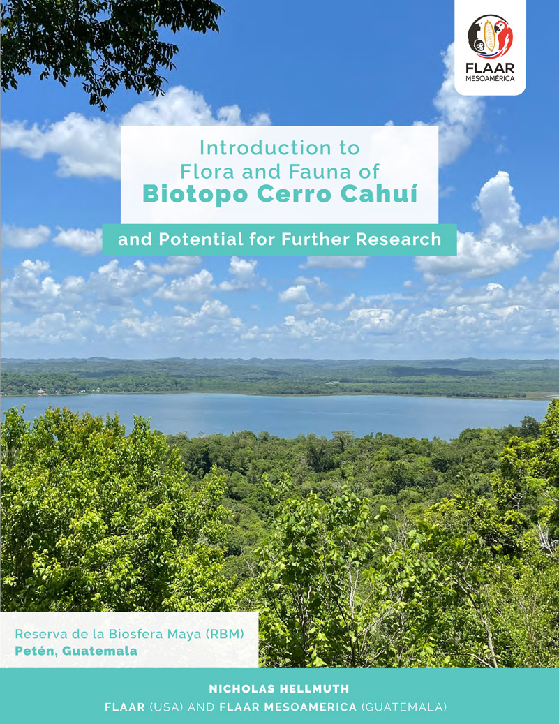
Biotopo Cerro Cahui is part of a group of nearby nature reserves and national parks that are working together to protect the local flora and fauna. Having a corridor so that monkeys of Tikal and Yaxha can move south to interact with monkeys along the north side of Lake Peten Itza is one aspect. Same for jaguars: you don’t want the jaguars to be limited to interbreeding in one small area. This corridor also includes the work of Sebastian de la Hoz Moretti and Juan Carlo de la Hoz Moretti and their helpful conservation project Green Balam Forests.
So far, we have visited five of the areas of this group of nature reserves and parks. We are working on paperwork to register for the Tikal area.
Biotopo Cerro Cahui is easy to get to (see map in the report, page 4). The view from the top is worth the climb.
We try to have all our reports in both Spanish and in English.
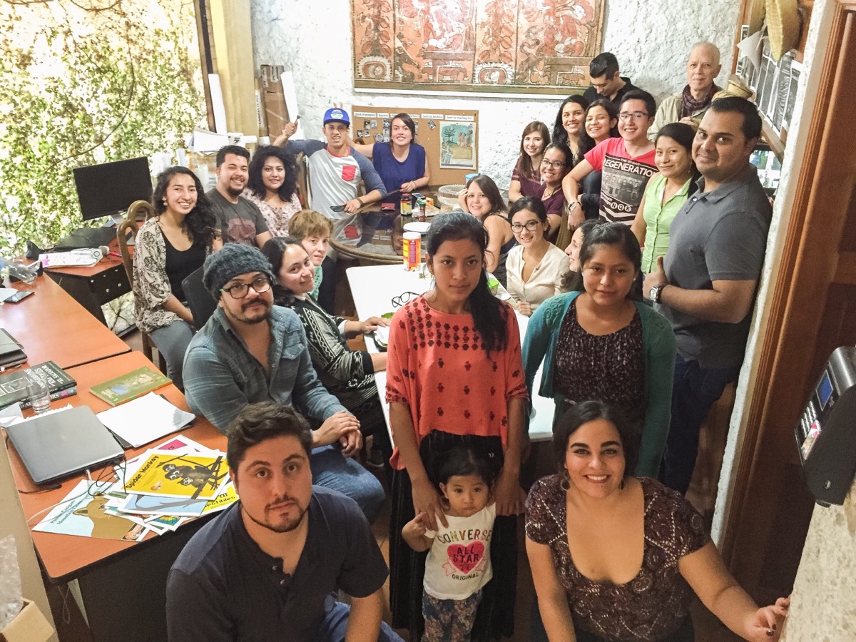
We have lots of new projects in flora, fauna, and ecosystems that we will be announcing in October. We have been so busy out in remote areas of Izabal and deeper into the rain forests of Peten that we have not had time to post much recently. But all 33 employees of FLAAR Mesoamerica are working on the diverse projects of FLAAR.
Today we wish to post the emotional video of “Dr Nicholas” (Hellmuth) as he sees for the first time a remote grassland savanna surrounded by rain forests in the Reserva de la Biosfera Maya. We were awarded a 5-year project permit for this area earlier this year.
We have also made advances in our flora, fauna, and wetlands ecology research in Parque Nacional Yaxha, Nakum and Naranjo. All these projects are occupying our full team, so we are phasing out our 20+ years of wide-format inkjet printer research and publications so that all the teams can focus on biodiverse wetlands surrounded by the rain forests, and all the remarkable endangered plants and creatures that roam around or fly around these areas that need conservation.
We have been deep in the swamps, marshes, rivers and lakes of the Municipio de Livingston, Izabal, Guatemala one week every month. Plus we are accomplishing field work on ecology, ethnobotany, and zoology in the Reserva de la Biosfera Maya also one week every month. So we have not posted news since April because we are so focused on our field work.
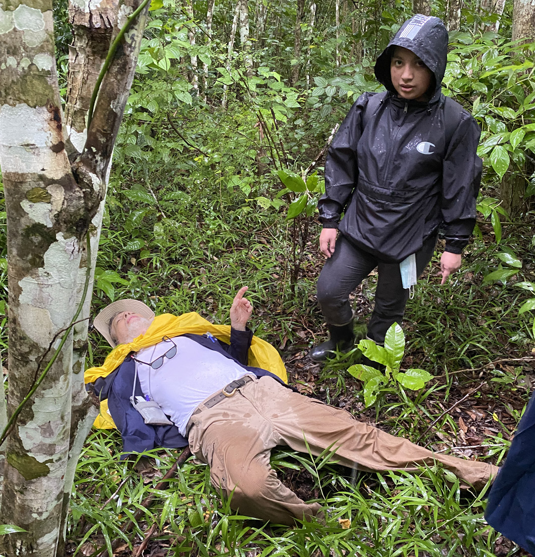
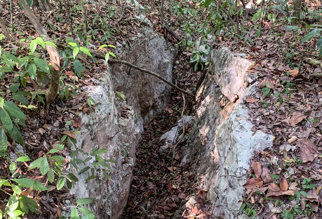
During recent months we have dedicated our time and resources for field work in remote rain forest areas of Guatemala to find savannas via satellite photos and then figuring out how to hike to these far-away never-before-studied biodiverse ecosystems. But when you work in remote areas you see why no intelligent professor tries to study these far away locations. We have added a new page to show one aspect of the hardships faced.
My foot went into a hollow depression left by large palm trees; when they die naturally then the trunk rots all the way underground (to where the roots are, far below the surface). So these open holes are often in the trail as we hike (up to 18 kilometers each day). When you are hiking fast, if one leg goes down into the hole your entire body is thrown flat on the ground within a second.
But I was helped up, and I hiked the remaining many miles back to our base camp.
This is one reason intelligent professors don't hike to these remote wetlands ecosystems in far-away parts of the rain forests.
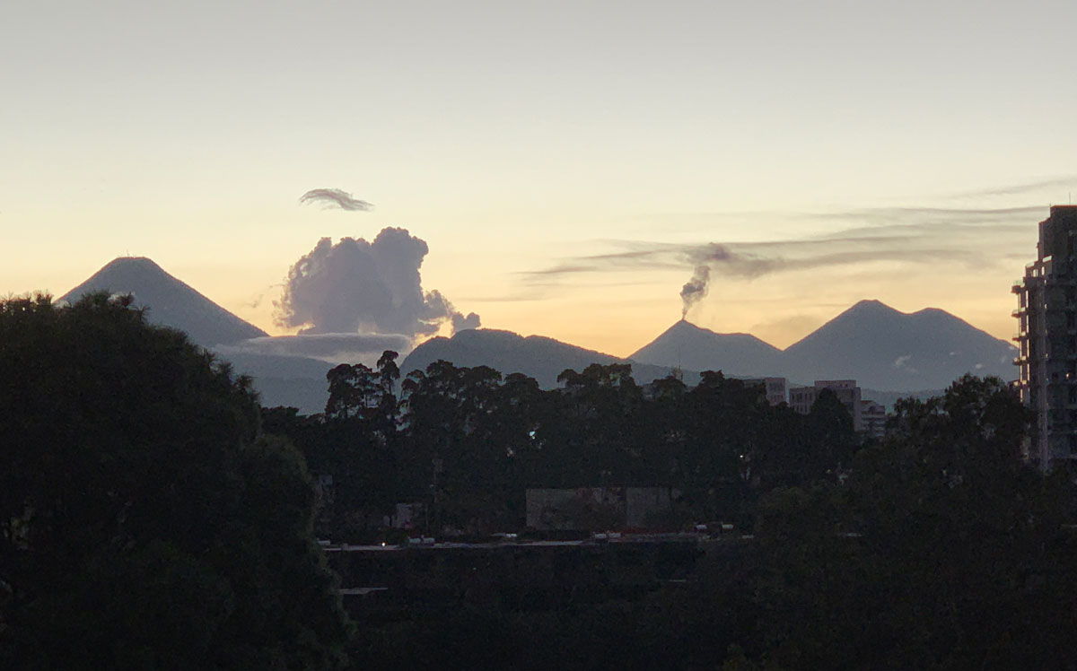
This is the view from my research office window in Guatemala, Central America. Can't see Pacaya Volcano (it's hidden by mountains at the left) but we can see lots of other volcanos (including when they erupt). Have a bit of black volcanic dust on everything last week due to Pacaya erupting.